
The International GEO Center partners with international institutes to develop and share broader research agenda across the international geospatial analytics and earth observation community. The Center provides a multi-lateral framework to work with universities, institutes, and individuals globally to solve critical problems.
University of Strasbourg
The University of Hong Kong, Hong Kong
Wuhan University
ETH Zürich, Zürich, Switzerland
The University of Edinburgh, Scotland, UK
International GEO Center UMD
Inge Jonckheere
Peter Messerli
Paola Magillo
Belen Franch
Thi Nhat Thanh Nguyen
-
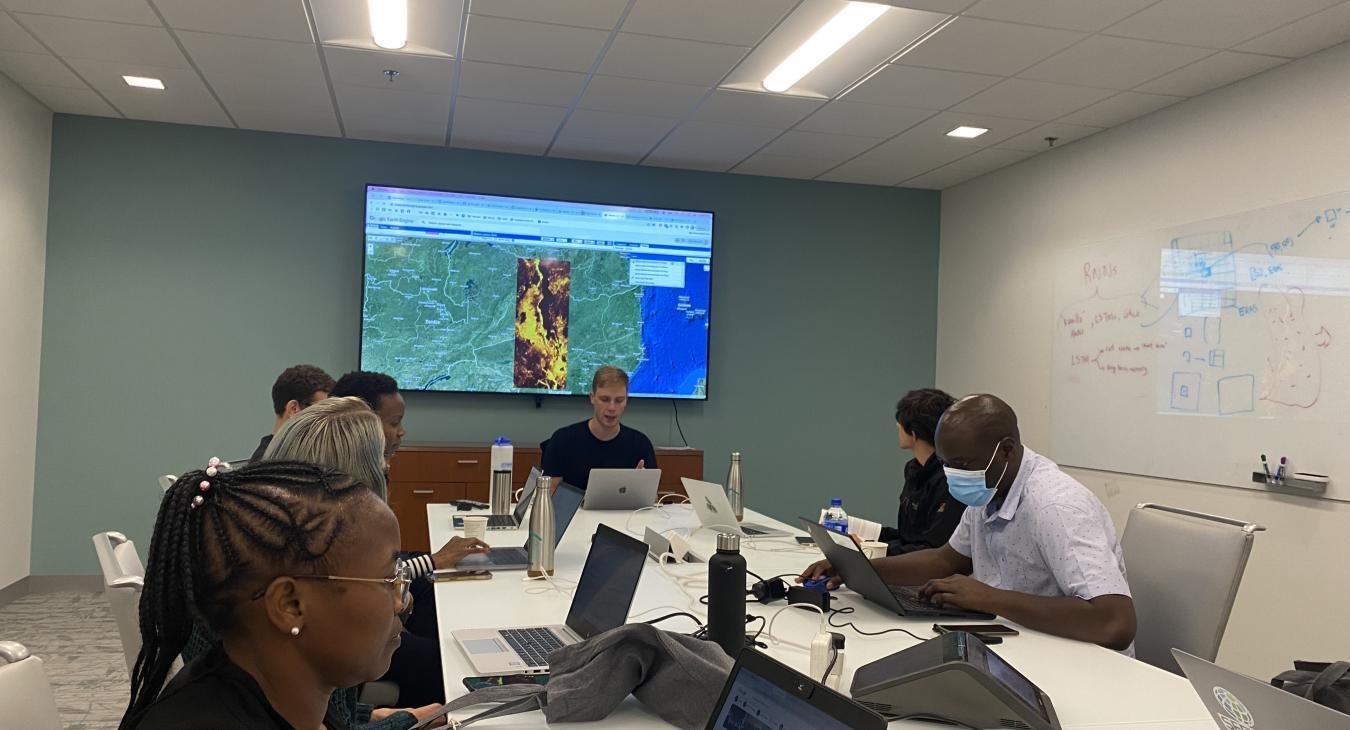
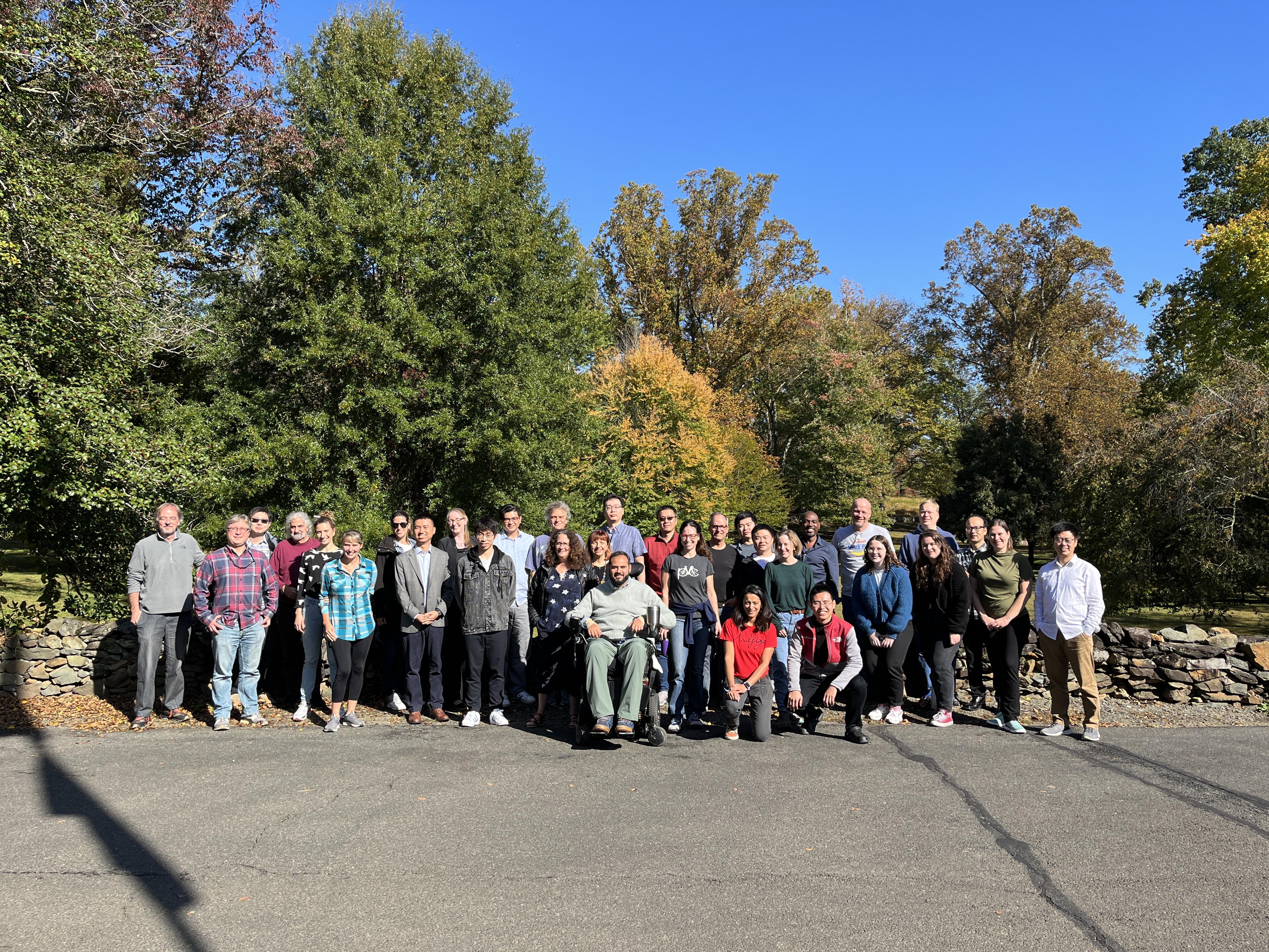 The International GEO Center has an amazing group of faculty and early career scientists working in areas of earth observation and geospatial analytics. Center participants are involved in international collaborations through contributions to international programs, collaborative initiatives, educational and outreach activities or individual level scientific interactions.
 -
 The International GEO Center faculty have a global network of collaborators working on research in earth observation and geospatial analytics, from field data collection and algorithm development to project operationalization and policy implementation. The Center provides a framework for maintaining and building on existing individual collaborations globally.
Our Projects
TREPA - Threat Reduction for the Environment, People and Animals
Enabling collaborative conservation of Vietnam’s unique biodiversity
EO-enabled regional and national agricultural monitoring in West Africa
Friction and Flows: Understanding the impacts of covid-19 on the wildlife economy of South Africa
EO for Field Level Agricultural Resource Mapping (EO-FARM): Pilot in Kenya and Mexico
EO for Field Level Agricultural Resource Mapping (EO-FARM): Pilot in Kenya and Mexico
GEOGLAM Crop Monitor for Early Warning
GEOGLAM Crop Monitor for AMIS
Understanding the role of land cover / land use nexus in malaria transmission in Myanmar
Strengthening Agri-Foods Data Systems to Inform Food Security Policies and Trade in Sub-Saharan Africa
Global Forest Watch
Global Assessment of Protected Area Biomass
Forest Change and Oil Palm Expansion in Southeast Asia: Historical Patterns, Socioeconomic Drivers, and Future Projection
The Global Land Rush: A Socio-Environmental Synthesis
The Global Land Rush: A Socio-Environmental Synthesis
Helmets Labeling Crops
Optimizing crop yield data collection for supply chain enhancement
Leave No One Behind: Spatial AI Enabled Settlement Mapping to Enhance WASH Access for Vulnerable Populations
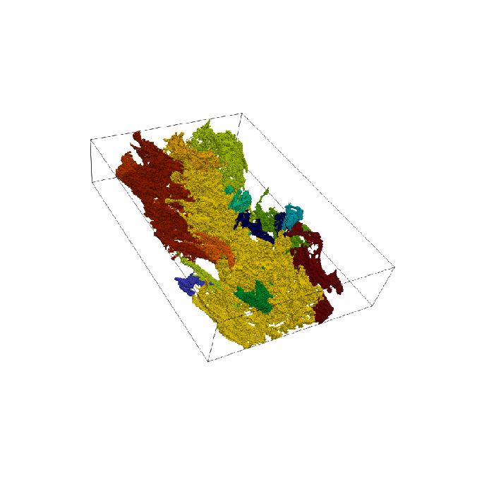
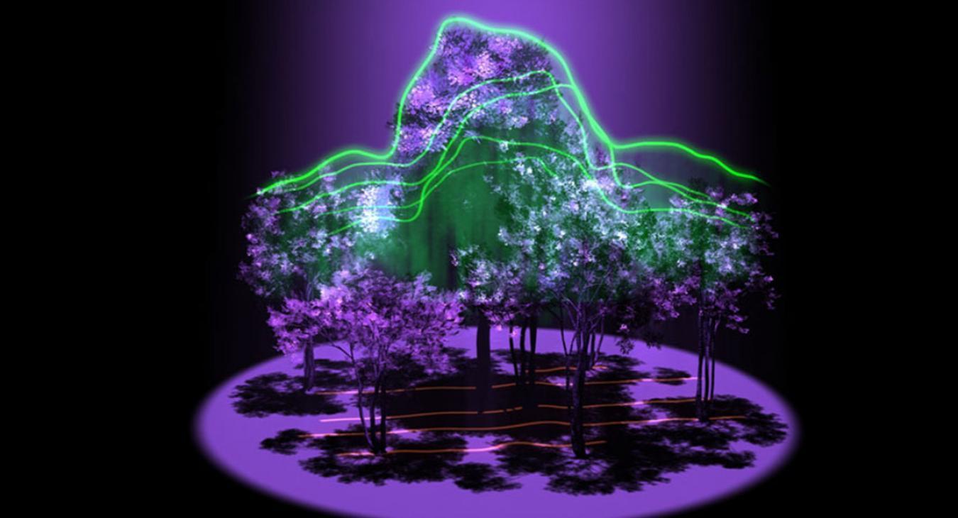
Geospatial Data Representation and Analysis through the Stellar Decomposition
Improving air pollution monitoring and management of Vietnam with satellite PM2.5 observation
High-Impact Hot Spots of Land Cover Land Use Change: Ukraine and Neighboring Countries
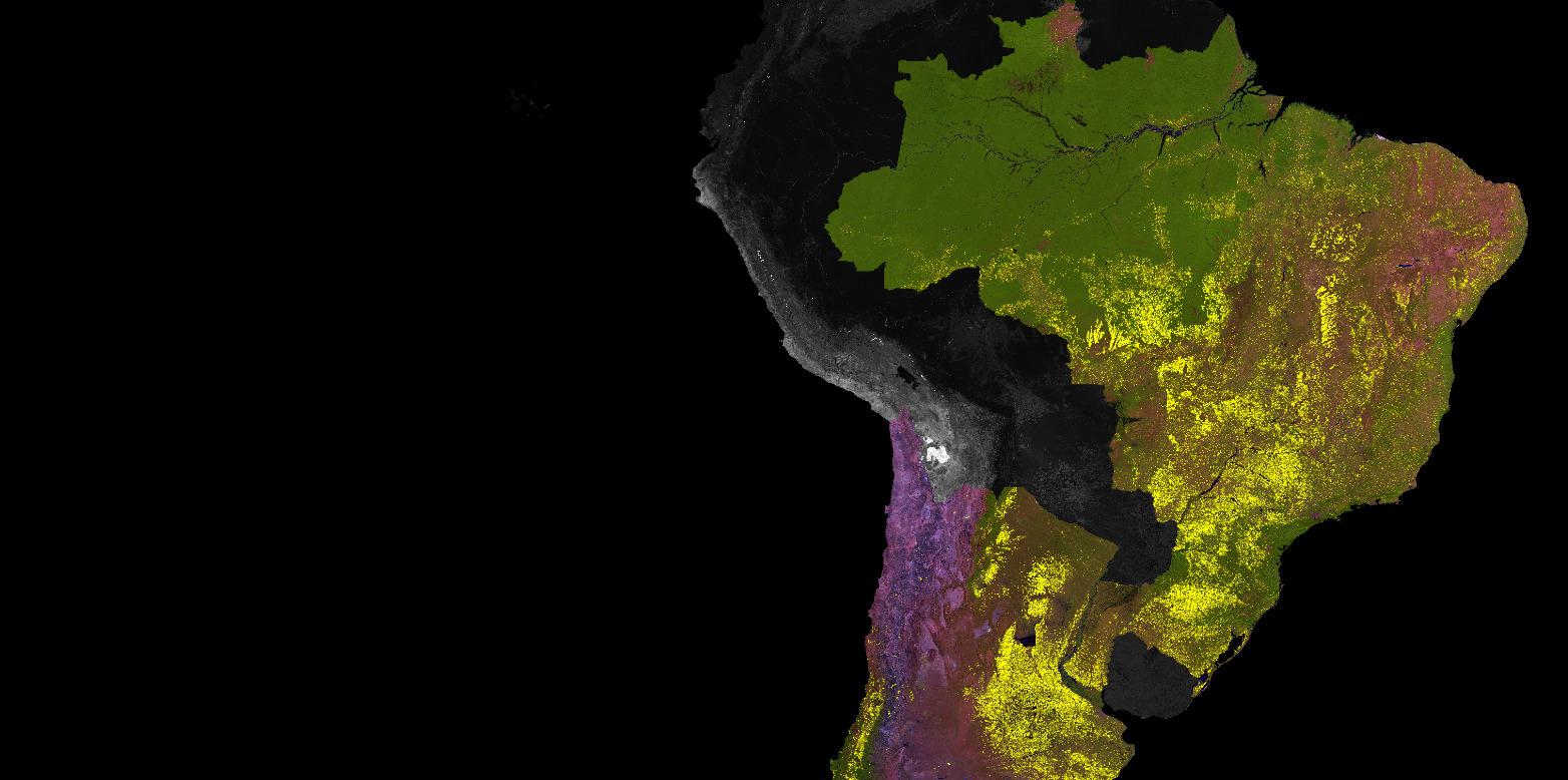
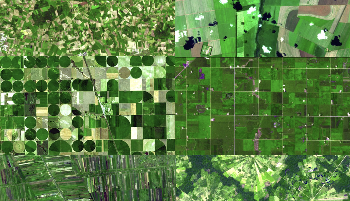
Soybean Expansion in South America: Quantifying Historical Land-Use Change, Modeling Socioeconomic Drivers and Projecting Future Trajectories
A Cobra in the Forest? Quantifying the Impact of Perverse Incentives from Indonesia's Deforestation Moratorium, 2011 to 2016
Shifting Cultivation at a Crossroad: Drivers and Outcomes of Recent Land-Use Changes in Laos PDR
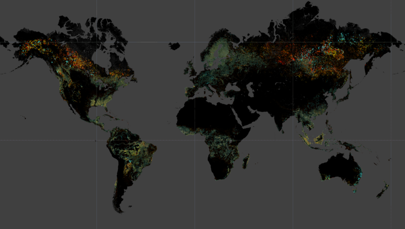
Multi-resolution quantification and driver assessment of hot spots of global forest disturbance
Disrupting wildlife trafficking network through convergence of physical and virtual systems
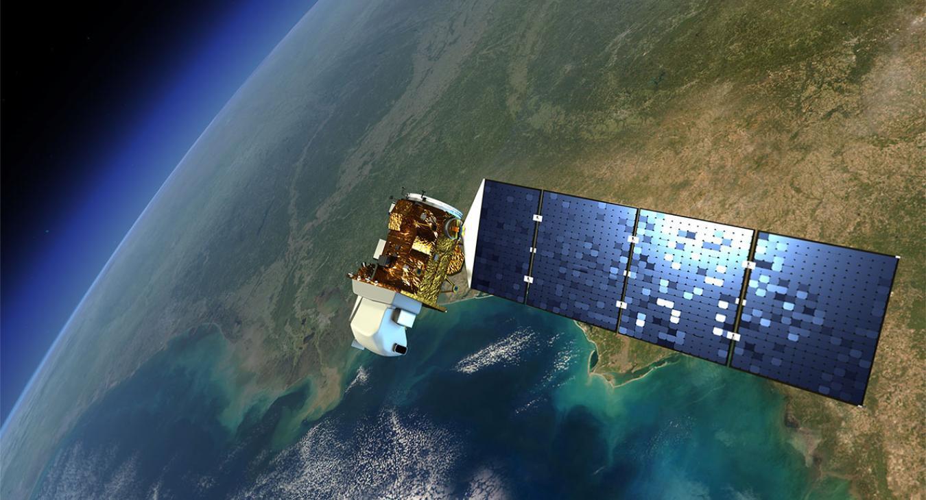
The International GEO Center faculty engage with the international community through their leadership and contribution to numerous programs focused on remote sensing applications and geospatial analysis. Our faculty contribute to calibration and validation of Earth observation data and Atmospheric Correction and Cloud Mask Intercomparison Exercises through the CEOS – CVWG, work on producing and disseminating relevant and timely information on agricultural conditions to improve food security through the GEOGLAM initiative, contribute to global efforts toward reaching sustainable Development Goals through platforms such as CBAS and support the sustainable management of land resources through programs such as the GOFC-GOLD.

Center News
![]()