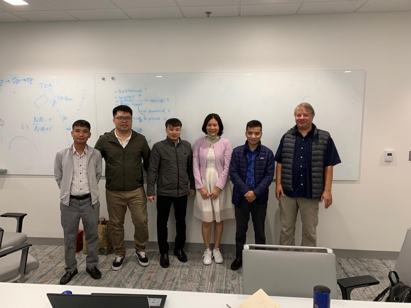
Dr. Peter Potapov from the GLAD Team hosted five scientists from the National Remote Sensing Department (NRSD) of the Ministry and Natural Resources and Environment, Hanoi and the Forest Inventory Planning Institute (FIPI) of the Ministry of Agriculture and Rural Development, Hanoi. The visitors worked with the GLAD System to develop current remote sensing-based maps of forest cover, land cover and land use in the context of National Greenhouse Gas Inventory and Land Use, Land Use Change and Forestry (LULUCF) activities.


