Sokoine University of Agriculture (SUA)
The project leveraged ECAAS's Open Data Kit (ODK) form and toolkit to collect yield data and evaluated the utility of these data by testing and applying the Global Earth Observations for Crop Inventory Forecasting (GEOCIF) system at a field scale on rice.
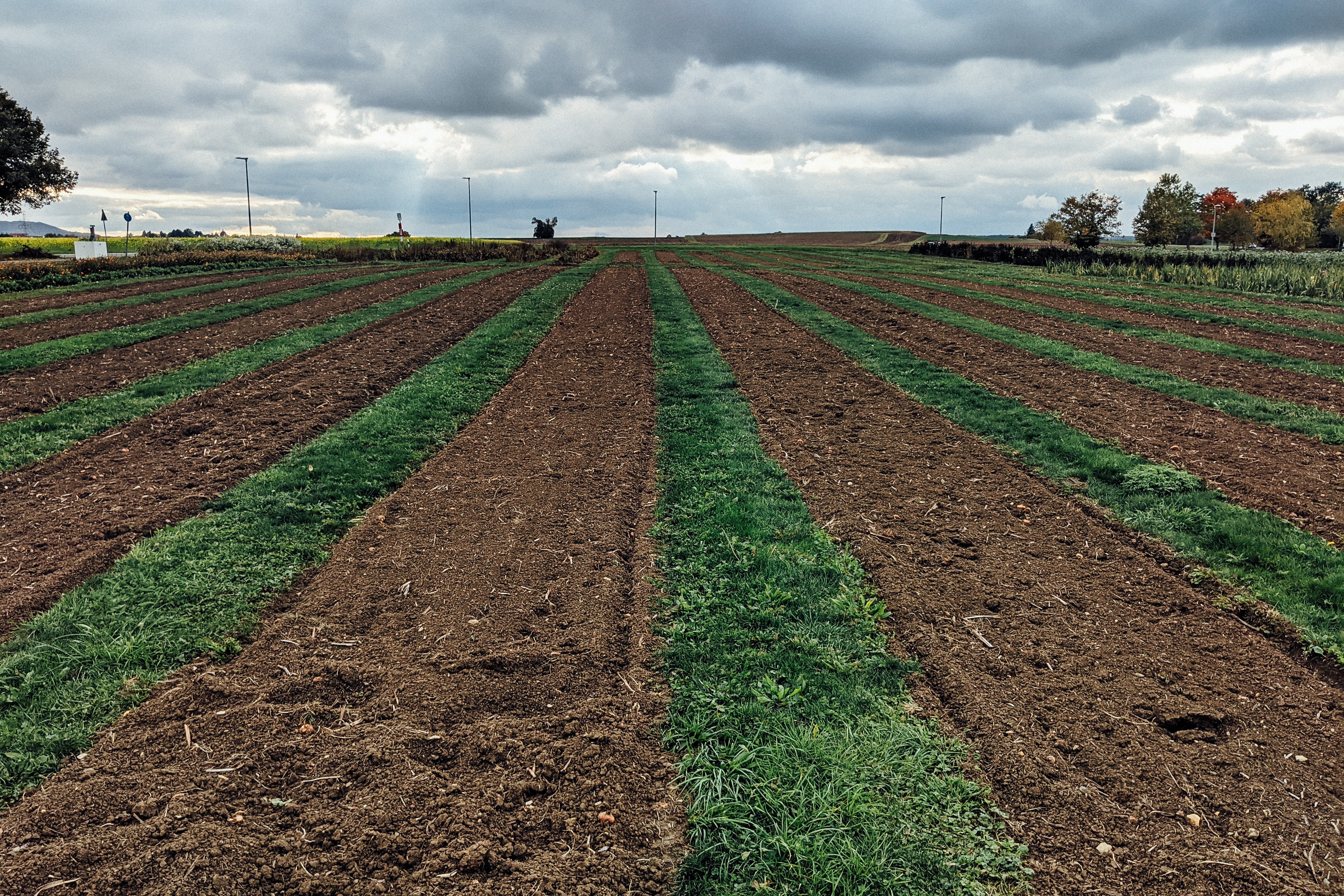
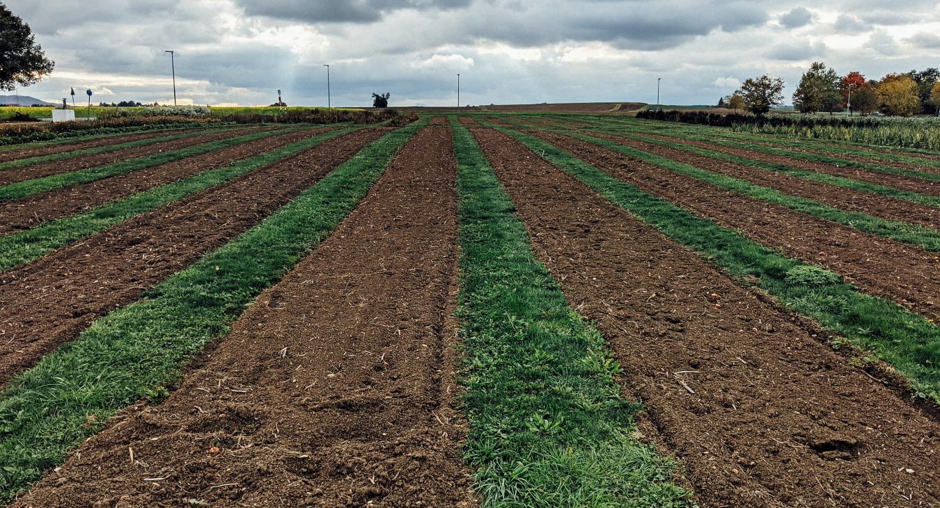
Collecting high-quality crop data is expensive but is paramount to improving policies and programs that can dramatically benefit smallholder farmers in numerous ways, especially by enhancing supply chains. The NASA Harvest Program at the University of Maryland along with its partners, collected datasets, including 806 field boundaries and 617 yield measurements and other field characteristics from smallholder rice fields in North-Western Tanzania. Our local partners include the Sokoine University of Agriculture based in Morogoro and Flamingoo Food Limited. The project leveraged ECAAS's Open Data Kit (ODK) form and toolkit to collect yield data and evaluated the utility of these data by testing and applying the Global Earth Observations for Crop Inventory Forecasting (GEOCIF) system at a field scale on rice. GEOCIF is a machine learning forecasting model that can estimate field-scale crop yields and applicability to other rice-growing regions. By demonstrating the utility of machine learning models for optimizing yield data collection, this project can inform and reduce the cost of collecting yield data critical for agricultural decision-making.