Project Lead
Collaborators
CIMMYT
Kenyan Ministry of Agriculture
RCMRD
UCSB CHG/GEOGLAM
DevAfrique - Advisory Services
Kenyan Ministry of Agriculture
RCMRD
UCSB CHG/GEOGLAM
DevAfrique - Advisory Services
Team Members
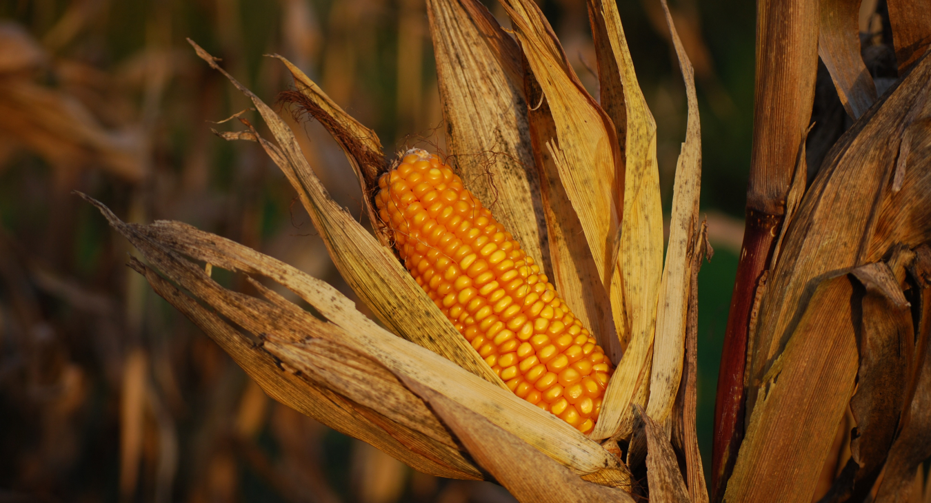
Improving remote sensing-based datasets and information products for maize conditions and yield in Kenya and Mexico.
Description
This pilot program is in particularly in support of smallholders. This project provides much-needed support to the Kenyan Ministry of Agriculture (MoALF) in updating/improving their remote sensing-based datasets and information products for maize conditions and yield as part of its crop insurance program. It includes field campaigns, design of sampling strategies, capacity development, and the development of maize cropland EO-based crop type and yield indicator products. This work is done in full coordination with ongoing regional projects and GEOGLAM initiatives.
External Project Links